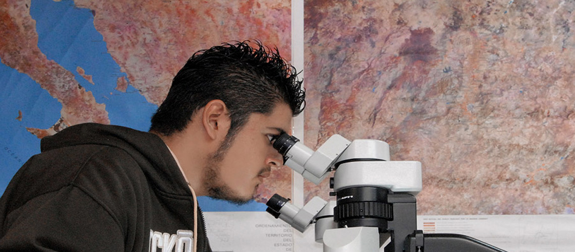
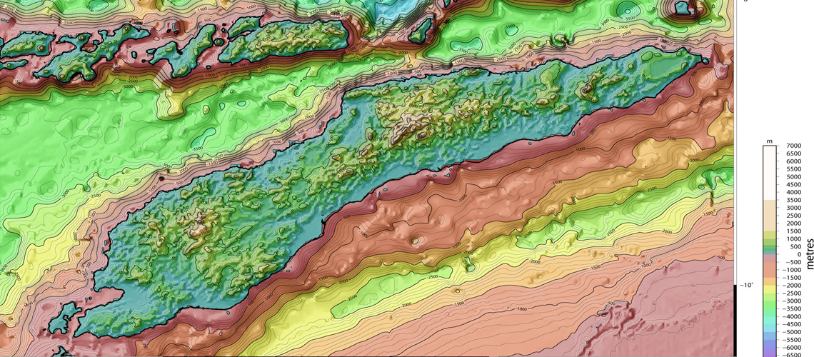
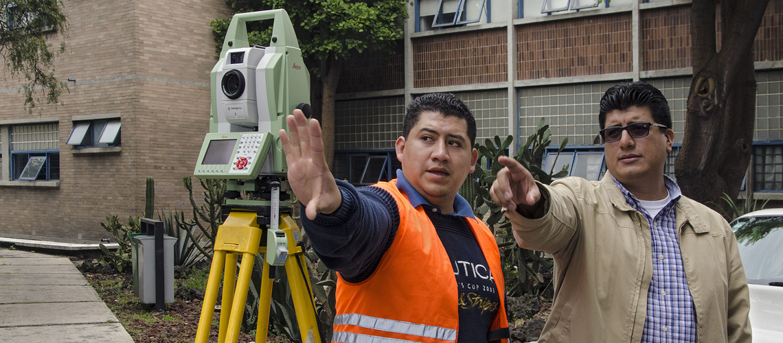
The Geomatics Engineer is the professional with the necessary knowledge and preparation to work in the areas of cartography, geodesy, surveying, photogrammetry and related sciences, in order to establish the Geographical and geometric frame of reference of all the projects in which these disciplines are applied.
The student interested in joining the degree in Geomatics Engineering, in the Faculty of Engineering at UNAM, must have completed the National Preparatory School, College of Sciences and Humanities or another program of Preparatory Education. It is desirable that you have studied the area of Physical-Mathematical Sciences or the set of subjects related to these fields of knowledge in the College of Sciences and Humanities, or in other curricula of higher preparatory education. In all cases, the desirable profile includes the following knowledge, skills and attitudes.
Requires having knowledge of mathematics in algebra, analytical geometry and differential and integral calculus of functions of one variable, must also have a good knowledge of physics, particularly in matters related to classical mechanics, as well as general knowledge of chemistry and computing. It is also desirable that you have knowledge of English, at least at the level of understanding of texts.
With regard to skills, it is important that you are willing to work in a team, have analysis and synthesis skills, and adapt to new situations, and have a creative spirit. You should also have:
• Ability for analytical reasoning.
• Interest and curiosity about natural phenomena and the causes that originate them.
• Good visual memory to recognize and identify different terrains.
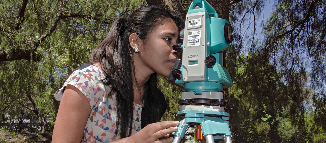
• Dexterity in handling precision instruments.
• Good disposition for teamwork.
• Ability to concentrate for long periods of time.
• Interest in applying science and technology to satisfy the needs of society.
• Sense of responsibility regarding the consequences that the application of technology may have on the environment.
• Good health, adaptability and resistance to adverse environmental conditions.
Graduates of the Faculty of Engineering should acquire capacities for innovation, have potential to contribute to the creation of technologies, and entrepreneurial attitude. They will have clear ideas about mathematical modeling of physical phenomena and optimization, will be open to both continuous learning and interdisciplinarity. They must have solid knowledge of their language with oral and written communication skills, as well as another language, preferably English, at least at the level of reading comprehension, with social sensitivity and professional ethics, and with potential and vocation to become a factor of change.
Specific:At the end of his professional training, the graduate of the degree in Geomatics Engineering will possess the following knowledge, skills and attitudes:
The graduate in Geomatics Engineering from the Faculty of Engineering at UNAM is the professional who has the ability to plan, manage, supervise, direct and carry out projects aimed at society in general, and the scientific community, based on knowledge and the management of geospatial information applied in the scientific, humanistic, technological and environmental areas from its disciplinary perspective.
Knowledge of geodesic reference frames will allow you to determine the international, national, state, municipal and private boundaries, including correct modeling of the Earth's shape, whose applications will be the support of remote sensing systems, geographic information, cartographic projections and global positioning, among others.
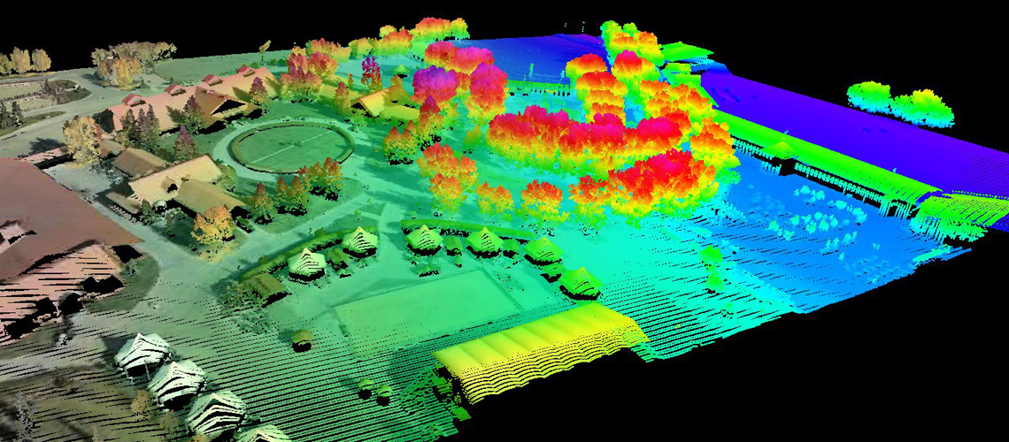
The new technologies will allow the acquisition, storage, processing, analysis and dissemination of geospatial information aimed at various areas of research on the Earth's surface, its gravitational field and the atmosphere. Interrelating in multidisciplinary groups to provide solutions required by society in agriculture, urban development, services, transportation, infrastructure and cadaster, among many other socio-economic-political-legal-cultural aspects and all this with a clear vision, committed and ethical, that helps a better decision making, directed to the solution of the needs of the country.
Graduates will have clear ideas about mathematical modeling of physical phenomena and optimization, will be open to both continuous and interdisciplinarity learning. They must have knowledge and skills of oral and written communication, with social sensitivity and professional ethics, as well as potential and vocation to become a factor of change
The Geomatics Engineer is the professional who has the necessary knowledge and preparation that allows him to work at the levels of planning, organization, direction and execution in the areas of cartography, geodesy, topography, photogrammetry, remote sensing, Geographic Information Systems and related sciences, in order to establish the geographical and geometric framework for all projects in which these disciplines are applied.
This professional:
• Defines, develops and establishes Geographic Information Systems within a single framework.
• Establishes the National Geodesic Network horizontal and vertical to refer to topographical surveys of all types.
• Defines municipal, jurisdictional, state, national and international boundaries, as well as areas of specific interest in sea and land.
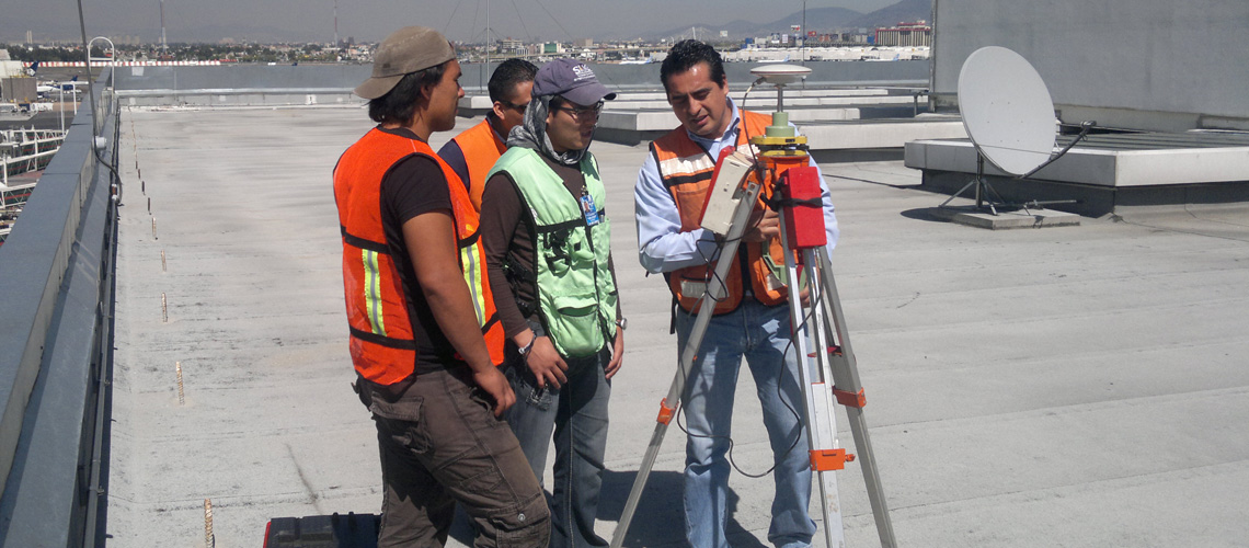
• Performs land and hydrographic surveys applied to the construction of communication lines, hydraulic works and energy management.
• Prepares studies and gravimetric observations for the establishment of bases or stations with this character.
• Performs surface and underground surveys for the usage of mineral resources.
• Applies the techniques and procedures of the multi-purpose cadaster for the inventory of national assets.
• Makes cartographical surveys, geographic charts and topographical maps for regional and urban development.
• Draws topographic maps and surveys of the ground configuration in detail, as well as the terrain levels on which the projects to be carried out, such as railways, roads, dams, bridges, housing developments, irrigation systems and hydroelectric projects will be based.
• Does other surveys to develop rural and urban cadaster charts, as well as topographic, geodetic and gravimetric measurements to investigate the forms of the planet Earth.
• Executes, ground surveys of detail, all the way to aerial (aerial photogrammetry) and those based on artificial satellites.
The activity of the Geomatics Engineer is aimed at developing cartographic works and topographic surveys that serve as a basis for the infrastructure works during the construction process and, later, in the observation of its behavior during its operation, and also serve as support and control of projects of the extractive industry.
The professionals in Geomatics Engineering have several job options: to work in a public or private institution, in the free exercise of the profession, or to commit to teaching and research.
The employment fields include public institutions (communications, public works, rural and urban development), decentralized agencies and the private sector (construction, consulting and industry) and the education sector (teaching and research).
In the public sector, their services are required in the Secretariats of Social Development, Urban Development and Housing, Public Works and Services, Communications and Transportation, Health, Tourism and the Environment and Natural Resources. In the government of the Federal District, in the Secretariat of Works and Services and in the Secretariat of Transportation and Roads. In addition, the National Water Commission and the Federal Electricity Commission, in PEMEX, INFONAVIT and the National Institute of Statistics and Geography (INEGI).
In the private sector, they collaborate in construction companies, companies of associated professionals. They also teach in institutions of secondary and higher education, public and private.
He also carries out research at the Institute of Engineering, Institute of Geophysics, Institute of Geography, National Center for Disaster Prevention and the Institute of Marine Sciences and Limnology, to name a few.
Free trade agreements, globalization policies, accreditations and accreditations of the bachelor's degree by external agencies allow graduates the opportunity to develop professionally in the participating countries that are currently the United States of America and Canada.
It is important to point out that the country currently requires professionals with the degree in Geomatics Engineering, with adequate training to meet the challenges posed by population growth, modernization in the field of construction, as well as the increasing use of technology, which requires planning with short, medium and long terms objectives.


